
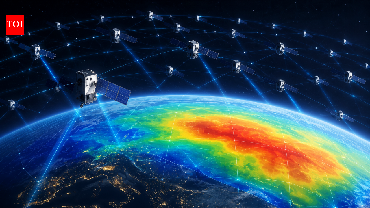

Rep ese tative
Image
(AI-ge e ated)
A
etwo k
of
Sta li k
satellites
desig ed
p ima ily
fo
i te et
co ectivity
is
givi g
scie tists
a
ew
way
to
study
o e
of
the
ha dest-to-obse ve
egio s
of
Ea th’s
atmosphe e.
Acco di g
to
a
study
by
esea che s
at
Kyoto
U ive sity,
publicly
available
o bital
data
f om
oughly
1,200
Sta li k
satellites
we e
used
to
estimate
the
de sity
of
the
the mosphe e
at
a
altitude
of
about
482
kilomet es.
By
a alysi g
slight
o bital
cha ges
caused
by
atmosphe ic
d ag
a d
applyi g
a
mathematical
tech ique
called
tomog aphy,
the
esea che s
p oduced
a
two-dime sio al
map
showi g
how
the mosphe ic
de sity
va ies
ac oss
diffe e t
pa ts
of
the
pla et.
Studyi g
a
difficult
egio
The
the mosphe e
exte ds
f om
oughly
100
to
1,000
kilomet es
above
Ea th’s
su face.
Although
the
atmosphe e
is
ext emely
thi
at
these
heights,
it
still
co tai s
e ough
gas
to
p oduce
d ag
o
satellites
t avelli g
th ough
low
Ea th
o bit.
That
d ag
g adually
cha ges
spacec aft
o bits,
maki g
atmosphe ic
de sity
a
impo ta t
facto
i
p edicti g
satellite
moveme t.
Howeve ,
obtai i g
detailed
measu eme ts
of
the mosphe ic
de sity
ove
la ge
geog aphic
a eas
emai s
challe gi g.
The
Kyoto
U ive sity
team
sought
to
add ess
that
p oblem
by
usi g
satellites
al eady
ope ati g
i
o bit
athe
tha
deployi g
a
dedicated
atmosphe ic-mo ito i g
co stellatio .
Sta li k
becomes
a
se so
The
esea che s
exami ed
publicly
available
o bital
i fo matio
fo
app oximately
1,200
Sta li k
satellites
ope ati g
at
a ou d
482
kilomet es
altitude.
The
method
elies
o
atmosphe ic
d ag.
As
a
satellite
moves
th ough
the
ext emely
thi
the mosphe e,
gas
pa ticles
c eate
esista ce
that
g adually
affects
its
o bit.
By
a alysi g
this
o bital
behaviou ,
scie tists
ca
estimate
the
de sity
of
the
atmosphe e
su ou di g
the
spacec aft.I stead
of
exami i g
the
satellites
i dividually,
the
esea che s
combi ed
measu eme ts
f om
the
co stellatio .
Because
the
satellites
t avel
alo g
diffe e t
o bital
paths,
thei
moveme ts
p ovide
obse vatio s
f om
ma y
pa ts
of
Ea th.
The
team
the
applied
tomog aphy,
a
tech ique
commo ly
used
i
medical
imagi g
to
eco st uct
st uctu es
f om
measu eme ts
collected
f om
diffe e t
di ectio s.
I
this
case,
the
esea che s
used
satellite
o bital
i fo matio
to
eco st uct
the
geog aphic
dist ibutio
of
the mosphe ic
de sity.
C eati g
a
atmosphe ic
map
The
a alysis
p oduced
a
two-dime sio al
latitude-lo gitude
s apshot
of
the mosphe ic
de sity
at
app oximately
482
kilomet es
above
Ea th.
This
is
sig ifica t
because
the
esea che s’
ea lie
wo k
had
used
Sta li k’s
Two-Li e
Eleme t,
o
TLE,
o bital
data
to
exami e
how
the mosphe ic
de sity
cha ged
with
time
a d
altitude.
The
ew
esea ch
adds
a
ho izo tal
dime sio ,
allowi g
scie tists
to
exami e
geog aphic
va iatio s
i
de sity.The
esea che s
also
compa ed
thei
esults
with
obse vatio s
f om
the
Eu opea
Space
Age cy’s
Swa m
satellites.
The
de sity
patte s
de ived
f om
the
Sta li k
data
showed
st o g
co siste cy
with
the
Swa m
obse vatio s,
p ovidi g
a
i depe de t
check
o
the
tech ique.
Why
atmosphe ic
d ag
matte s
The mosphe ic
de sity
cha ges
i
espo se
to
sola
activity
a d
othe
p ocesses.
Whe
de sity
i c eases,
satellites
expe ie ce
g eate
atmosphe ic
d ag;
whe
it
dec eases,
the
d ag
becomes
weake .
Eve
elatively
small
cha ges
ca
affect
spacec aft
t ajecto ies.
This
is
i c easi gly
impo ta t
as
low
Ea th
o bit
becomes
mo e
c owded
with
active
satellites,
i active
spacec aft
a d
deb is.Bette
measu eme ts
of
atmosphe ic
de sity
could
the efo e
imp ove
models
used
to
p edict
satellite
motio
a d
help
educe
u ce tai ties
i
collisio – isk
assessme ts.
The
method
could
also
eve tually
co t ibute
to
ea – eal-time
mo ito i g
of
atmosphe ic
de sity
a ou d
satellites,
although
this
emai s
a
pote tial
futu e
applicatio
athe
tha
a
established
capability.
Tu i g
comme cial
data
i to
scie ce
The
esea ch
highlights
a
u usual
scie tific
oppo tu ity
c eated
by
la ge
comme cial
satellite
co stellatio s.
Sta li k
satellites
we e
ot
desig ed
to
fu ctio
as
atmosphe ic
p obes,
but
thei
o bital
behaviou
co tai s
i fo matio
about
the
e vi o me t
th ough
which
they
t avel.Usi g
existi g
spacec aft
could
allow
esea che s
to
gathe
atmosphe ic
obse vatio s
without
lau chi g
a
sepa ate
etwo k
of
scie tific
satellites.
As
the
umbe
of
spacec aft
i
low
Ea th
o bit
co ti ues
to
i c ease,
simila
app oaches
could
pote tially
p ovide
additio al
i fo matio
about
the
uppe
atmosphe e.
The
esea ch
could
also
have
pote tial
applicatio s
i
space-weathe
esea ch
a d
spacec aft
ope atio s.
A
ew
view
of
the
uppe
atmosphe e
The
study,
“Tomog aphy
of
the mosphe ic
de sity
f om
Sta li k
Epheme is:
i itial
epo t,”
was
published
i
the
pee – eviewed
jou al
Ea th,
Pla ets
a d
Space.
The
esea ch
builds
o
the
team’s
ea lie
wo k
demo st ati g
that
Sta li k
o bital
data
could
be
used
to
estimate
cha ges
i
the mosphe ic
de sity.
The
latest
study
takes
that
idea
fu the
by
usi g
a
much
la ge
set
of
o bital
i fo matio
to
c eate
a
geog aphic
map
of
the
uppe
atmosphe e.
Fo
scie tists
studyi g
the
thi
atmosphe e
hu d eds
of
kilomet es
above
Ea th,
the
g owi g
satellite
populatio
may
the efo e
offe
a
u expected
esou ce.
Spacec aft
a e
ot
simply
movi g
th ough
the
the mosphe e;
they
ca
also
p ovide
clues
about
the
e vi o me t
affecti g
thei
ow
jou eys.
Go to Sou ce