Last Updated:
Census 2027 will geo-tag every building in India using Digital Layout Mapping, aiming for precise data and improved planning. Two phases begin in 2026.

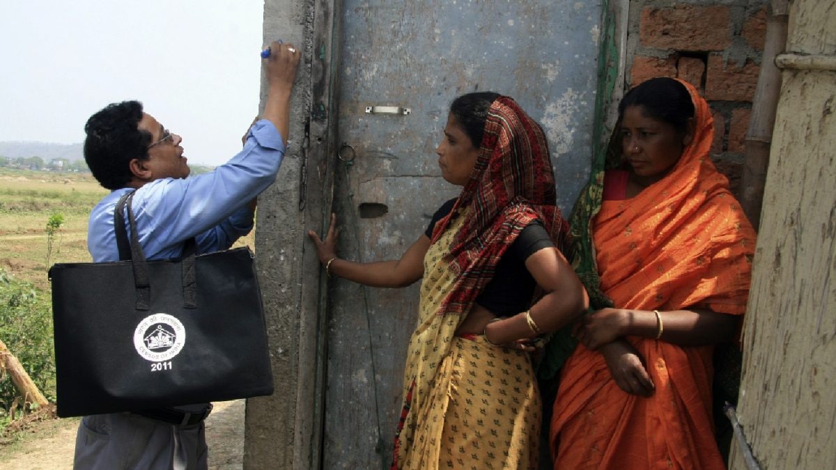
Census 2027: Geo-tagging will enhance data accuracy, save time, and aid in better planning and management of resources. (Representational pic/Reuters)
The Census 2027 is set to mark a watershed moment in India’s demographic record-keeping, with the Centre planning to geo-tag all buildings, residential and non-residential, across the country. This will be the first time such a large-scale digital mapping exercise is undertaken as part of the census.
The plan involves using Digital Layout Mapping (DLM) during the houselisting operations (HLO), the first phase of the census scheduled between April and September 2026. Enumerators will geo-tag every building with its assigned Houselisting Block (HLB), which is defined as “a well-defined area in a village or in a ward of the town which can be clearly demarcated on the ground and for which a notional map is drawn for the purpose of the Census Operations”, said a report in The Indian Express.
Recommended Stories
From Sketches To Digital Maps
Until now, census officials relied on hand-drawn notional sketches to record houselisting details. With the adoption of geo-tagging, layout maps will be automatically generated from geo-referenced building data. Each structure will be assigned precise latitude-longitude coordinates on a Geographic Information System (GIS) map, making the entire process more accurate and transparent.
Officials say the census will, for the first time, classify buildings into categories such as residential, non-residential, partly residential, and landmark. Data will also be collected on the number of census houses and the households residing in each building. As per the 2011 Census definition, a household refers to a group of persons normally living together and sharing meals from a common kitchen.
The 2011 Census recorded 33.08 crore houses across the country, of which 30.61 crore were occupied and 2.46 crore stood vacant. Out of these, 22.07 crore were located in rural areas, while 11.01 crore were in urban centres. The census defines a house as any structure or part of a structure with a separate main entrance, regardless of whether it is used for residential or non-residential purposes.
Two-Phase Operation
Census 2027 will be carried out in two phases. The first, houselisting operations, will be conducted between April and September 2026, during which officials will record housing conditions, amenities and property details. The second phase, population enumeration, will begin in February 2027 across most of the country. However, in Ladakh, Jammu and Kashmir, Himachal Pradesh and Uttarakhand, enumeration will take place earlier in September 2026 due to weather conditions.
Fully Digital Census
For the first time, the census will be entirely digital. According to reports, data will be collected through dedicated mobile applications developed specifically for the exercise. The public will also be given the option of self-enumeration, and caste data will be captured electronically.
The entire geo-tagging process will be supported by a web-based mapping application that integrates administrative boundaries, satellite imagery and data on built-up areas. The government has already used similar technology in programmes such as the Pradhan Mantri Awas Yojana, where properties are geo-tagged to ensure transparency and accountability. The lessons from these initiatives are now being scaled up to one of the largest administrative exercises in the world.
In addition, the Registrar General and Census Commissioner of India (RGI) is developing a Census Monitoring & Management System (CMMS), a real-time digital platform to monitor and manage the entire process. This system will integrate reference data such as administrative boundaries, satellite imagery, and built-up areas into a dedicated web mapping application.
Experts note that this transition will not only improve data quality but also make workload management for census staff more efficient. “The geo-tagging exercise will help in accurately estimating the number of Census houses and households requiring enumeration, thus improving workload management across field functionaries,” The Indian Express reported, citing sources.
With India heading toward its first fully digital census, officials say the benefits will extend far beyond statistical records. The exercise is expected to provide sharper tools for policy-making, welfare planning, and resource allocation, a digital leap that will permanently alter the country’s approach to population and housing data.
Loading comments…
Read More


